No images have been released for Modern Spaaces Sarjapur Road
There is no developer gallery to show, and this page will not pretend otherwise. The visuals it carries are our own indicative visualisations, captioned as such. In the same Bengaluru market, Urban Oasis by Modern Spaaces helps keep the gallery review tied to design evidence rather than only the most polished render or model-flat image.
Modern Spaaces has not published a render, a brochure, a floor plate, an elevation drawing, a master plan or a site photograph for the development filed at Sy. Nos. 18 and 19, Chikkadunnasandra Village. Modern Spaaces Sarjapur Road is the working title used on this site; Modern Spaaces has not announced a marketing name for the development. The title names the corridor, not the frontage; the parcel sits about a kilometre off the Sarjapur Road (SH-35) alignment, in Chikkadunnasandra village, Anekal Taluk.
The developer's own website lists eight schemes under an "Upcoming" heading as teaser cards with no specifications, no acreage and no survey numbers, and the individual project pages return an HTTP 500 error — they are unpublished. None of the eight can be tied to Sy. Nos. 18 and 19.
None of this is unusual for the stage the project is at. It is, however, the reason every visual on this page is labelled indicative rather than presented as the project's own — passing a visualisation off as a developer render is the one thing a due-diligence reader cannot afford.
Modern Spaaces Sarjapur Road carries no Karnataka Real Estate Regulatory Authority registration number, and no application is pending. Section 3 of the Real Estate (Regulation and Development) Act 2016 bars a promoter from advertising, marketing, booking or selling a project in a registrable class until registration has been granted. That is a large part of why there is no brochure in circulation and no image set to publish. This microsite is an information and enquiry resource for a scheme at the approvals stage — it is not a booking channel.
What follows alongside those visuals is what the filings record about the land and the building programme, what visual material should appear at launch, and how to tell one class of drawing from another when it does.
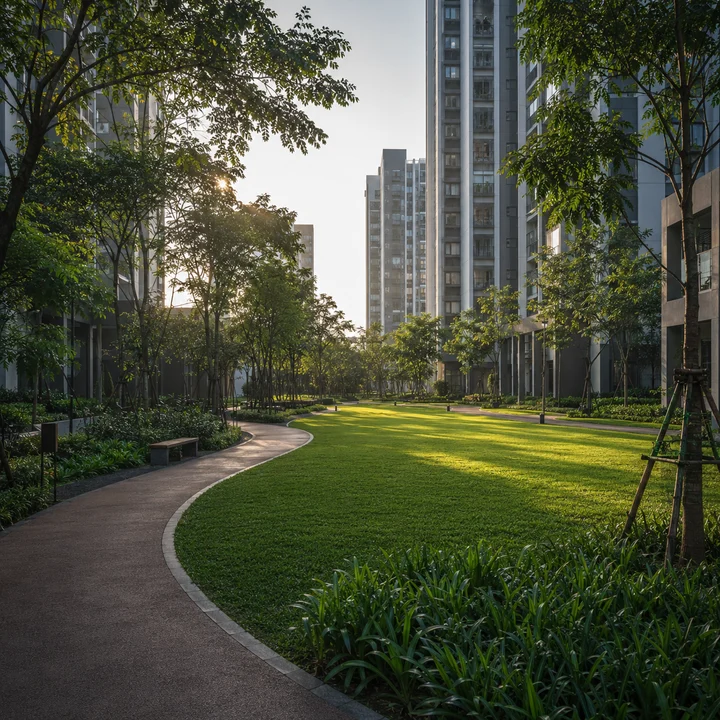
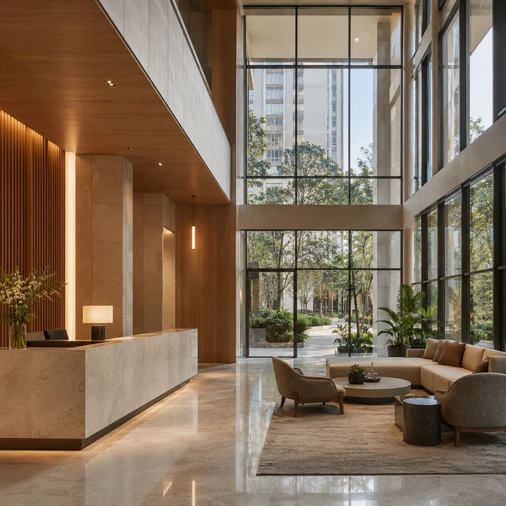
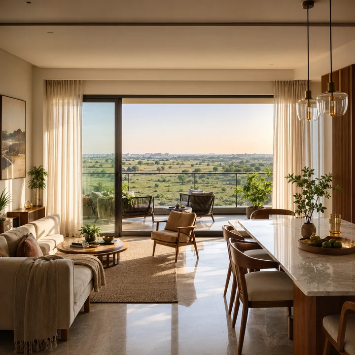
The submitted KML extent is the only site graphic on the public record
One piece of site geometry does exist in the regulatory file. The promoter, Modern Spaace Realty LLP, submitted a KML file named "modern spaace realty llp_project site.kml" with its Terms of Reference application. That file carries a bounding box running from latitude 12.85072 to 12.85334 and longitude 77.77317 to 77.77486.
We publish the centre of that box, 12.85203, 77.77402, as this project's pin. It is an inferred figure — the extent is verified, the centre point is our own arithmetic on it, and we hold it at medium-high confidence.
Two things about that extent matter for anyone hoping to read it as a site plan. It is a bounding box, not a parcel outline: the submitted extent covers roughly 5.33 hectares around a parcel of 3.0755 hectares, so as much as 42 per cent of what it encloses may be off-parcel. And it is a coordinate rectangle, not a drawing. It shows no boundary, no setback, no block footprint, no access point and no level. It is the correct answer to "where", and it is silent on everything else.
For completeness: the Plus Code supplied in the client's own sheet, VQ2F+HJ5, falls inside the submitted KML extent, about 72 m from its centre. The latitude and longitude given on that same sheet do not — they sit some 309 m north of the box, outside the extent altogether, and we have discarded them.
What the filings record about the land at Sy. Nos. 18 and 19
| Field | Value | Source |
|---|---|---|
| Survey numbers | Sy. Nos. 18 & 19 | Standard ToR certificate |
| Village | Chikkadunnasandra, Sarjapura Hobli, Anekal Taluk | Standard ToR certificate |
| District | Bengaluru Urban | Standard ToR certificate |
| Land extent | 3.0755 ha = 7.60 acres | Standard ToR certificate |
| Promoter | Modern Spaace Realty LLP | Standard ToR certificate |
| Proposal number | SIA/KA/INFRA2/582779/2026 | PARIVESH record |
| ToR status | Standard Terms of Reference granted 2 July 2026 | SEAC Karnataka |
| Approving authority | BMRDA | Project record |
The regulatory position needs stating precisely, because it is routinely overstated in circulating material. Standard Terms of Reference were granted on 2 July 2026; the environmental clearance application was filed on 18 August 2026 and remains under verification. A ToR is permission to conduct the environmental impact study. Nothing here is environmentally cleared.
Now the part that a gallery page has to be candid about. The documents we hold record the parcel's identity, its extent and its coordinates. They do not describe the land's present physical condition. There is no site photograph on the record we have retrieved, no dated inspection image, and no description of ground cover, existing structures, boundary treatment, tree stock or levels. We have not visited the site.
We are therefore not going to tell you what the land looks like today. A confident sentence about a "cleared, level parcel" or a "gently contoured site" would be a sentence we made up, and a reader doing serious due diligence deserves the gap named rather than filled. If you are seriously evaluating this project, drive to the survey numbers and look at it yourself, or ask the developer for dated site photography with the survey numbers visible in frame.
What the filed building programme implies about massing
The certificate is specific about the programme even though it says nothing about elevation or architecture:
| Filed particular | Value |
|---|---|
| Units | 826 residential units and a club house |
| Floors | 2BF + GF + 45UF (two basements, ground, 45 upper floors) |
| Built-up area | 177,241.32 sq m |
| Land | 7.60 acres |
| Project cost | Rs 415.11 crore |
Three pieces of arithmetic follow from that, and each is our own estimate, shown so you can check it:
- Density. 826 homes ÷ 7.60 acres = about 109 homes per acre. That is a high-rise density, not a low-rise garden-apartment density.
- Built-up against site area. 177,241.32 sq m ÷ 30,755 sq m (the filed 3.0755 ha) = about 5.76 times the site area. Treat that as an indicator of intensity, not as a sanctioned floor area ratio — the filed built-up figure is a gross number that includes basements and service areas, and an FAR calculation under the sanctioning bye-laws excludes different things.
- In square feet. 177,241.32 sq m × 10.7639 = roughly 1.91 million sq ft of gross built-up area.
What that adds up to, in careful general terms: a scheme of 45 upper floors on a 7.60-acre parcel is a tall, compact, vertically stacked development with a large proportion of its area below or at grade. It is also materially taller than the buildings in the developer's own published portfolio on this corridor: Green Storeys at Kada Agrahara is a G+9 building, and the PARIVESH record for Engrace Vista describes blocks over BF+GF+14UF. A 45-storey building is a different structural and services proposition from a 14-storey one. That is worth knowing before any render appears, because renders flatten exactly this kind of difference.
The one amenity the filing itself records is a club house. Any other amenity list you encounter for this project at this stage did not come from the filings.
Why this page publishes no tower count
Material in circulation attaches a tower count to the scheme. Neither filing states one. The averages do not settle it either: 826 units across 45 upper floors works out at 18.36 units per floor for the whole scheme, and a 45-storey tower carrying three or four homes to a floor is entirely ordinary — so the arithmetic rules nothing in and nothing out.
The publishable statement is the narrow one: the filing records 826 units and a club house over two basements, ground and 45 upper floors, and it does not state how many towers those are distributed across. When the sanctioned plan set exists, the tower count will be a fact rather than a claim. Until then, a tower count in a brochure or a portal listing is marketing copy, and the block count in a first render is a design intent that can and does change between visualisation and sanction.
Artist's impression, elevation drawing, sanctioned plan: what to check at launch
When Modern Spaaces does release material, it will arrive as a mixed bundle, and the classes carry very different weight. Learning to sort them is the single most useful thing a buyer can do with a launch gallery.
| Class of image | What it actually is | What it binds |
|---|---|---|
| Artist's impression / 3D render | A visualisation commissioned from a studio, usually produced before tender and often before the final structural design. | Nothing. It is illustrative. |
| Elevation drawing | The architect's measured, to-scale drawing of a facade — heights, floor lines, openings, no sky and no landscaping. | Binds only through the sanctioned drawing set it belongs to. |
| Sanctioned plan set | The drawing set stamped by the approving authority. For this scheme the recorded authority is BMRDA. | This is the document that governs what may lawfully be built. |
| Floor plate / unit plan | The layout of a floor or a single home, with dimensions. | Binds when it is annexed to the agreement to sell — not when it is only in a brochure. |
| Master plan / site layout | Block footprints, setbacks, internal roads, open space, club house position. | Binds when it forms part of the sanctioned set. |
| Sample flat photograph | A built show unit, usually fitted well above base specification. | Binds only to the extent the written specification annexure repeats it. |
| Site photograph | An image of the land or the works on a stated date. | Binds nothing, but it is real evidence of condition on that date. |
| Location or connectivity graphic | Marketing cartography, frequently drawn to straight-line distances. | Nothing. Check every figure against a routed source. |
Three practical checks. First, ask whether the drawing carries a stamp, a scale bar and a drawing number; a render has none of these. Second, ask whether the unit plan you are shown will be annexed to the agreement — the answer separates a specification from a suggestion. Third, once registration is granted, the authority's own public record is where sanctioned material can be inspected independently of anything the sales team hands over, and that is the version to compare against.
An artist's impression is not a contractual document
This is the standing caution and it applies to every project, not only this one.
A render is made to sell an idea. Landscaping is shown mature, when it will be newly planted. Skies are clear, adjacent plots are drawn empty or built to a flattering height, and the surrounding roads are drawn wide. Facade materials shown in a visualisation are frequently value-engineered between design and construction. Sunlight is chosen. None of it is dishonest in itself, and none of it is a promise.
What a buyer can actually hold a promoter to is the written specification annexure, the sanctioned plan set, and the agreement to sell. If a feature matters to you — a particular facade material, a double-height lobby, the club house programme, the number of lifts in your block — the place to find it is in those documents, in words and dimensions. If it appears only in a picture, treat it as an intention.
Nothing on this microsite is a photograph of the site or a developer render. Where any illustrative imagery appears anywhere on these pages, it is indicative only, it is not supplied or approved by Modern Spaaces, and it carries no representation about the finished building.
The setting, read from the routed distance table rather than from a render
Since there is no photography to convey setting, the routed table does the work instead. Every figure below is road distance, not straight-line.
| Destination | Road distance |
|---|---|
| Sarjapura Bus Stand | 1.89 km by road |
| Sardhar Vallabhbai Patel Education Society | 1.75 km by road |
| Sarjapura Urban Primary Health Centre | 1.80 km by road |
| Sri Ram Public School | 2.37 km by road |
| Sompura Lake | 2.75 km by road |
| Azim Premji University | 3.93 km by road |
| Confident Square Mall | 4.12 km by road |
| Carmelaram railway station | 11.59 km by road |
Two features of that table describe the surroundings better than any wide-angle image would.
The first is that the site does not front Sarjapur Road. It sits about a kilometre off the Sarjapur Road (SH-35) alignment and is reached by unnamed village roads. Any render or connectivity graphic that shows an arterial frontage would be describing a different site.
The second is the road network itself. Azim Premji University is 3.93 km away by road, roughly four times its straight-line separation from the parcel, and the SABIC India Technology Center shows a similar pattern at 4.26 km by road. That ratio is the signature of a village road grid that has not yet been cut through — neighbours that look adjacent on a map are reached by going out to a main road and back in. It is a fair thing to expect will improve as the corridor develops, and an unfair thing to assume has already happened.
For the record on rail: there is no operational metro or railway station within 10 km. Carmelaram at 11.59 km by road is the nearest rail of any kind. Sarjapur is the proposed southern terminus of Namma Metro Phase 3A, which the Karnataka Cabinet approved on 6 December 2024 and which still awaits Union Cabinet approval; no alignment and no station location has been published, so no distance to a Phase 3A station can honestly be given, by us or by anyone else.
What to ask for before Modern Spaaces Sarjapur Road has any images
If you are tracking this project, these are the items worth requesting or watching for, roughly in order of how much they tell you:
- The environmental clearance decision on application SIA/KA/INFRA2/589316/2026, filed 18 August 2026 and currently under verification.
- The K-RERA registration, once granted — it brings a public record, a declared completion date and an approved plan set into the open.
- The sanctioned plan set with the approving authority's stamp, which is where the tower count, block footprints and unit mix stop being claims.
- Dated site photography showing the survey numbers, since no document we hold describes the land's current condition.
- The written specification annexure, which is the only place a finish or a fitting becomes enforceable.
When Modern Spaaces publishes visual material for this development, this page will be rewritten around it, and each image will be described for what it is. Until then, an empty gallery stated plainly is more useful than a full one that cannot be relied on.
Modern Spaaces Sarjapur Road Gallery — frequently asked questions
What should I verify before I commit any money?
Five things, in this order. One: that a K-RERA registration exists for this project and that the number you are shown is a project-class number, not an agent registration. Two: that the survey numbers on the agreement are Sy. Nos. 18 and 19, Chikkadunnasandra Village, and that the extent matches 7.60 acres. Three: that the environmental clearance has actually been granted, not merely applied for — the Terms of Reference is not it. Four: the current khata document and the title flow, read by your own advocate rather than the builder's. Five: that the carpet area, price and completion date you are being given match the registered declaration exactly. Until registration exists, none of the above can be confirmed, and there is nothing here you need to hurry for.
How far are the tech parks and workplaces?
Far enough that you should test the commute yourself before committing. By road: SABIC India Technology Center 4.26 km, Aruani Grid 6.55 km, Nambiar District 25 7.94 km, Wipro SEZ 9.68 km, Prestige Tech Habitat 10.95 km, RGA Tech Park 11.39 km, and the Electronic City cluster around Konappana Agrahara at 14.94 km. Note that SABIC sits under a kilometre away as the crow flies but takes 4.26 km of road to reach, because the road network here does not run direct. That pattern repeats across this location and is the main reason we publish routed distances only. Drive your own commute at the hour you would actually travel.
When is possession, and why can't you give a date?
No possession date can honestly be given, and none should be quoted to you. A completion date becomes a binding commitment only when it is declared on a RERA registration, and this project has no registration. Before that, the sequence still to run includes the environmental impact study, the clearance decision, plan sanction and the registration itself, none of which carries a published timetable. You may see launch and completion quarters attached to this project in circulating material; those are template default values rather than developer commitments, and we do not publish them. Ask for the declared completion date on the RERA certificate once one exists, and rely on nothing earlier.
What is the exact address?
The site is Sy. Nos. 18 and 19, Chikkadunnasandra Village (village code 613220), Sarjapura Hobli, Anekal Taluk, Bengaluru Urban District, postcode 562125. Chikkadunnasandra is a revenue village east of Sarjapura town, and the relevant planning authority is BMRDA. The promoter's registered office is at a different address — No. 73/2, Chambenahalli Village, Dommasandra Post, Sarjapura Main Road — so do not mistake the office address for the site. When you search land records or verify anything at the taluk office, search on the village and survey numbers rather than on any project name, since no marketing name has been announced and the survey numbers are what the filing is anchored to.
Has Modern Spaaces built in Chikkadunnasandra before, and what is its record?
Yes — and this is the strongest single credibility fact available about this developer for this site. 77 East is registered with K-RERA at Sy 7/4, Cozy Home Layout, Chikkadunnasandra Village, under number PRM/KA/RERA/1251/308/PR/200103/003119. That is the same revenue village. The group holds fourteen K-RERA registrations across both spellings of its name, all project-class registrations, including 77 East Phase 2, 312 West at Sompura, Green Storeys at Kada Agrahara, the Engrace series, the Soul Tree projects and Soulace. Its registrations begin in 2019–2020. One caution on how you read those records: the second date on a K-RERA certificate is the promoter's declared completion date, not proof of handover. We retrieved no occupancy certificate or completion filing for any of these projects, so we do not describe any of them as delivered.
Enquire about Modern Spaaces Sarjapur Road
Modern Spaaces Sarjapur Road is at the stage where the useful thing is information rather than a booking, because there is no lawful booking to make. Leave your details and we will tell you when the position changes — when a Karnataka RERA number is issued, when the environmental file moves, and when the developer publishes a price, a floor plate and an amenity schedule. The enquiry form asks for a name, phone number, email address and message; name and phone are required.